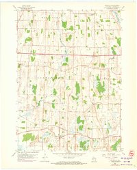
1959 Map of Helenville
USGS Topo · Published 1972About this map
Helenville sits at the junction of the Chicago and North Western rail line and local roadways, serving as a focal point for the surrounding agricultural townships of Jefferson and Sullivan. The landscape is defined by the drainage of Johnson Creek and Duck Creek, which flow through a countryside dotted with numerous rural institutions. This 1959 survey, updated with 1971 aerial data, reveals a pattern of mid-century development where community life centered on schools like Sunshine Sch and High Lawn Sch.
Find a feature on this map
27 named features on this map. Tap any name to fly to it.
Don’t see what you’re looking for? This feature index may not catch every label — zoom into the map to look around manually.
Map Details
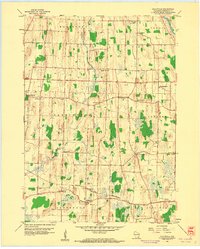
Editions of this 1959 Helenville Map
2 editions found
Other maps of this area

1891 · Waterloo
USGS Topo · 1:62,500

1891 · Koshkonong
USGS Topo · 1:62,500

1892 · Watertown
USGS Topo · 1:62,500

1892 · Whitewater
USGS Topo · 1:62,500

1893 · Whitewater
USGS Topo · 1:62,500

1894 · Waterloo
USGS Topo · 1:62,500

1894 · Watertown
USGS Topo · 1:62,500

1894 · Koshkonong
USGS Topo · 1:62,500

1903 · Whitewater
USGS Topo · 1:62,500

1906 · Koshkonong
USGS Topo · 1:62,500