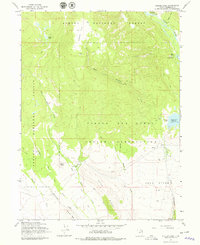
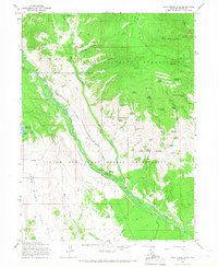
1965 Map of Heller Lake
USGS Topo · Published 1978About this map
Ashley National Forest and the Uinta and Ouray Indian Reservation meet across this high-elevation landscape in the mid-1960s. The map illustrates a transitional zone where high mountain hydrology feeds into a complex network of canyons and gulches, dominated by the Uinta River in the northeast and Dry Gulch in the west. Local infrastructure is primarily geared toward resource management and mountain access, evidenced by the Dry Gulch Ranger Station, the Dry Gulch Cattle Camp, and a system of rugged paths including the Cottonwood Trail and several pack trails.
Find a feature on this map
33 named features on this map. Tap any name to fly to it.
Don’t see what you’re looking for? This feature index may not catch every label — zoom into the map to look around manually.
Map Details
Editions of this 1965 Heller Lake Map
2 editions found
Other maps of this area

1885 · Uinta
USGS Topo · 1:250,000

1905 · Gilbert Peak
USGS Topo · 1:125,000

1906 · Gilbert Peak
USGS Topo · 1:125,000

1939 · Duchesne
USGS Topo · 1:125,000

1954 · Salt Lake City
USGS Topo · 1:250,000

1958 · Salt Lake City
USGS Topo · 1:250,000

1960 · Salt Lake City
USGS Topo · 1:250,000
1965 · Rasmussen Lakes
USGS Topo · 1:24,000
1965 · Neola
USGS Topo · 1:24,000
1965 · Pole Creek Cave
USGS Topo · 1:24,000