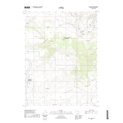
2019 Map of Hells Canyon
USGS Topo · Published 2019About this map
Dinosaur National Monument encompasses a large portion of this Moffat County landscape, where the Yampa River carves through the northern reaches near Outlaw Park. The terrain is defined by a dense network of high-desert draws and canyons, including Cottonwood Canyon and the namesake Hells Canyon, which feed toward the river system. Evidence of early land use and backcountry access is visible through landmarks such as Surveyor Spring and the Mantle Cave Trail near Castle Park.
Find a feature on this map
45 named features on this map. Tap any name to fly to it.
Don’t see what you’re looking for? This feature index may not catch every label — zoom into the map to look around manually.
Map Details
Editions of this 2019 Hells Canyon Map
This is the sole edition of this map. No revisions or reprints were ever made.
Other maps of this area
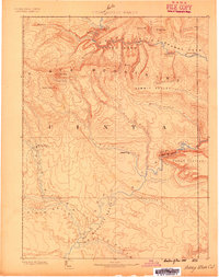
1885 · Ashley
USGS Topo · 1:250,000
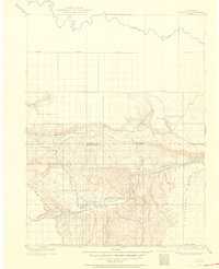
1907 · Rangely
USGS Topo · 1:125,000
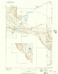
1907 · Jensen
USGS Topo · 1:125,000
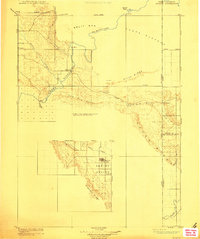
1910 · Jensen
USGS Topo · 1:125,000
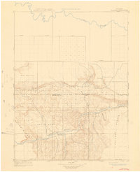
1910 · Rangely
USGS Topo · 1:125,000
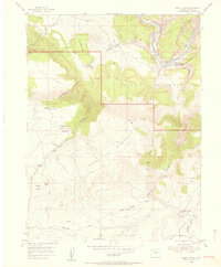
1954 · Hells Canyon
USGS Topo · 1:24,000
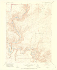
1954 · Canyon of Lodore South
USGS Topo · 1:24,000

1954 · Vernal
USGS Topo · 1:250,000
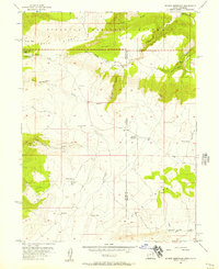
1955 · Stuntz Reservoir
USGS Topo · 1:24,000
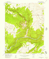
1955 · Jones Hole
USGS Topo · 1:24,000