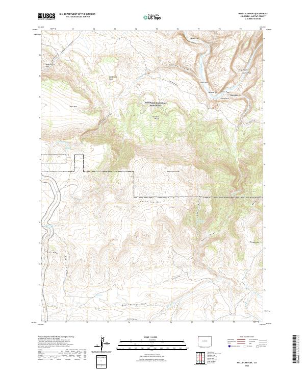
2022 Map of Hells Canyon
USGS Topo · Published 2022About this map
Dinosaur National Monument encompasses the heart of this landscape, where the Yampa River carves a deep path through the high plateau. The topography is defined by significant vertical relief, ranging from the depths of Hells Canyon to the summits of Round Top Mtn and Buena Vista Peak. This area serves as a critical junction of drainage systems including Cottonwood Cr and Turners Cr, which cut through benches and draws like Robinson Draw and Marthas Draw.
Find a feature on this map
43 named features on this map. Tap any name to fly to it.
Don’t see what you’re looking for? This feature index may not catch every label — zoom into the map to look around manually.
Map Details
Editions of this 2022 Hells Canyon Map
This is the sole edition of this map. No revisions or reprints were ever made.
Other maps of this area

1885 · Ashley
USGS Topo · 1:250,000

1907 · Rangely
USGS Topo · 1:125,000

1907 · Jensen
USGS Topo · 1:125,000

1910 · Jensen
USGS Topo · 1:125,000

1910 · Rangely
USGS Topo · 1:125,000

1954 · Hells Canyon
USGS Topo · 1:24,000

1954 · Canyon of Lodore South
USGS Topo · 1:24,000

1954 · Vernal
USGS Topo · 1:250,000

1955 · Stuntz Reservoir
USGS Topo · 1:24,000

1955 · Jones Hole
USGS Topo · 1:24,000