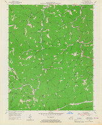
1954 Map of Helton
USGS Topo · Published 1967About this map
The Middle Fork Kentucky River flows through this 1954 survey of Leslie County, where narrow valleys dictate the pattern of settlement. Mountain life is centered around local schools and small clusters of homes such as Warbranch, Helton, and Saylor. Education was clearly localized at mid-century, evidenced by the distribution of the White Oak Sch, Marrowbone Sch, and Beech Fork Sch across the hollows. The rugged terrain is anchored in the south by the prominent ridge of Pine Mountain, while numerous gaps like Buck Gap and Phillips Gap provide the few traversable routes between the steep drainage basins of Beech Fork and its many tributaries. An industrial presence is noted by a Strip Mine near the center of the sheet, while family-named landmarks like Potato Knob and Chestnut Knob illustrate the intimate naming conventions of the region.
Find a feature on this map
110 named features on this map. Tap any name to fly to it.
Don’t see what you’re looking for? This feature index may not catch every label — zoom into the map to look around manually.
Map Details
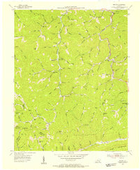
Editions of this 1954 Helton Map
2 editions found
Other maps of this area

1886 · Cumberland Gap
USGS Topo · 1:125,000

1887 · Jonesville
USGS Topo · 1:125,000

1888 · Cumberland Gap
USGS Topo · 1:125,000

1891 · Manchester
USGS Topo · 1:125,000

1891 · Cumberland Gap
USGS Topo · 1:125,000

1891 · Hazard
USGS Topo · 1:125,000

1891 · Jonesville
USGS Topo · 1:125,000

1903 · Harlan
USGS Topo · 1:48,000

1903 · Pineville
USGS Topo · 1:48,000

1916 · Harlan
USGS Topo · 1:48,000