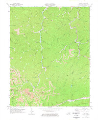
1974 Map of Helton
USGS Topo · Published 1977About this map
The Middle Fork Kentucky River cuts a deep, winding path through this rugged corner of the Cumberland Plateau, serving as the primary corridor for settlement and transit. In the mid-1970s, the landscape reflects a transition from traditional Appalachian hollow life to a more industrial footing, evidenced by numerous Strip Mine operations carved into the ridges above Marrowbone Creek and Turkey Branch. Small communities like Saylor, Warbranch, and Helton cling to the narrow valley floors, anchored by local institutions such as Saylor Ch and Middle Fork Ch. To the south, the massive wall of Pine Mountain forms a natural barrier, while distinctive peaks like Potato Knob and Peters Knob define the complex drainage basins of the Kentucky River. The map also captures the presence of Spruce Pine Lake, a rare larger body of water in a terrain otherwise defined by narrow branches and hollows.
Find a feature on this map
103 named features on this map. Tap any name to fly to it.
Don’t see what you’re looking for? This feature index may not catch every label — zoom into the map to look around manually.
Map Details
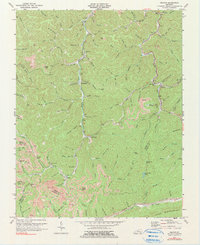
Editions of this 1974 Helton Map
2 editions found
Other maps of this area

1886 · Cumberland Gap
USGS Topo · 1:125,000

1887 · Jonesville
USGS Topo · 1:125,000

1888 · Cumberland Gap
USGS Topo · 1:125,000

1891 · Manchester
USGS Topo · 1:125,000

1891 · Cumberland Gap
USGS Topo · 1:125,000

1891 · Hazard
USGS Topo · 1:125,000

1891 · Jonesville
USGS Topo · 1:125,000

1903 · Harlan
USGS Topo · 1:48,000

1903 · Pineville
USGS Topo · 1:48,000

1916 · Harlan
USGS Topo · 1:48,000