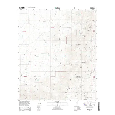
2014 Map of Helvetia
USGS Topo · Published 2014About this map
Helvetia and Greaterville anchor this study of the northern Santa Rita Mountains during the early 21st century. The map highlights a landscape dominated by the Coronado National Forest, where the rugged topography is defined by high peaks like Granite Mtn and Castle Dome. For genealogists and local historians, the Helvetia Cem north of Gunsight Pass provides a direct link to the area's mining era.
Find a feature on this map
67 named features on this map. Tap any name to fly to it.
Don’t see what you’re looking for? This feature index may not catch every label — zoom into the map to look around manually.
Map Details
Editions of this 2014 Helvetia Map
This is the sole edition of this map. No revisions or reprints were ever made.
Other maps of this area

1904 · Patagonia
USGS Topo · 1:125,000

1905 · Patagonia
USGS Topo · 1:125,000

1922 · Agus Caliente
USGS Topo · 1:62,500

1926 · Helvetia
USGS Topo · 1:62,500

1932 · Elgin
USGS Topo · 1:62,500

1940 · Elgin
USGS Topo · 1:62,500

1947 · Elgin
USGS Topo · 1:62,500

1948 · Sonoita
USGS Topo · 1:24,000

1956 · Nogales
USGS Topo · 1:250,000

1958 · Nogales
USGS Topo · 1:250,000