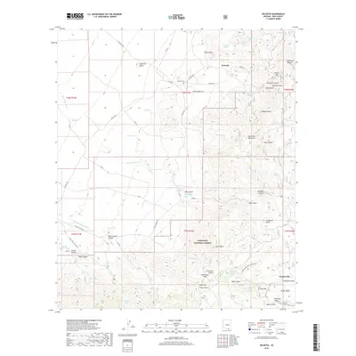
2018 Map of Helvetia
USGS Topo · Published 2018About this map
Helvetia sits at the northern end of the Santa Rita Mountains, a site shaped by its historical mining significance. The landscape is defined by the rugged relief of the Coronado National Forest, where steep canyons like Sycamore Canyon and McCleary Canyon provide sharp topographic contrast. The settlement of Helvetia is marked by its community cemetery, Helvetia Cem, while to the southeast, the small settlement of Greaterville appears near Louisiana Gulch. Water is a critical element in this arid environment, represented by numerous cattle tanks and springs such as Red Tank, Chavez Spring, and Ruelas Spring. The Arizona National Scenic Trail traverses the southern half of the quadrangle, crossing Melendrez Pass and skirting Granite Mtn, illustrating the modern recreational use of these historical corridors.
Find a feature on this map
76 named features on this map. Tap any name to fly to it.
Don’t see what you’re looking for? This feature index may not catch every label — zoom into the map to look around manually.
Map Details
Editions of this 2018 Helvetia Map
This is the sole edition of this map. No revisions or reprints were ever made.
Other maps of this area
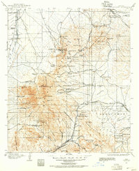
1904 · Patagonia
USGS Topo · 1:125,000
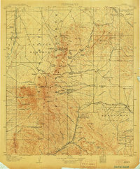
1905 · Patagonia
USGS Topo · 1:125,000
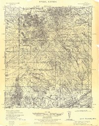
1922 · Agus Caliente
USGS Topo · 1:62,500
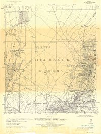
1926 · Helvetia
USGS Topo · 1:62,500
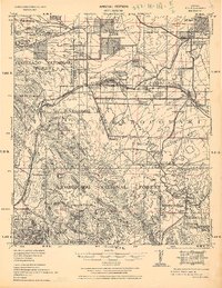
1932 · Elgin
USGS Topo · 1:62,500
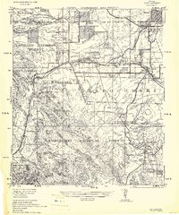
1940 · Elgin
USGS Topo · 1:62,500
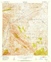
1947 · Elgin
USGS Topo · 1:62,500
1948 · Sonoita
USGS Topo · 1:24,000
1956 · Nogales
USGS Topo · 1:250,000
1958 · Nogales
USGS Topo · 1:250,000