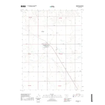
2017 Map of Hemingford
USGS Topo · Published 2017About this map
Hemingford serves as the central hub of this agricultural landscape in Box Butte County, organized around a classic grid of residential streets including Niobrara Ave, Custer St, and Wyoming Ave. The surrounding High Plains terrain is defined by the ephemeral drainage patterns of Hemingford Cr, Berea Cr, and the branches of Box Butte Creek. Notable for local history and genealogy, the map identifies the Hemingford Cem just outside the village limits and Saint Johns Cem to the southeast. The prominence of Fisher Reservoir and various named canyons, such as South Branch Sand Canyon, highlights the critical importance of water management in this semi-arid region. The landscape is interconnected by a dense network of numbered county roads and named routes like Dodge Rd and Gage Rd, reflecting the established ranching and farming sections of the early 21st century.
Find a feature on this map
38 named features on this map. Tap any name to fly to it.
Don’t see what you’re looking for? This feature index may not catch every label — zoom into the map to look around manually.
Map Details
Editions of this 2017 Hemingford Map
This is the sole edition of this map. No revisions or reprints were ever made.
Other maps of this area
1946 · Nonpareil
USGS Topo · 1:24,000
1946 · Box Butte Reservoir West
USGS Topo · 1:24,000
1947 · Box Butte NW
USGS Topo · 1:24,000
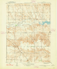
1948 · Box Butte Reservoir West
USGS Topo · 1:24,000
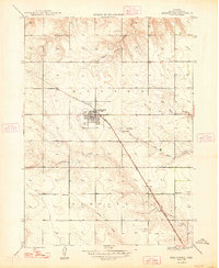
1948 · Hemingford
USGS Topo · 1:24,000
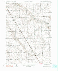
1948 · Berea Creek West
USGS Topo · 1:24,000
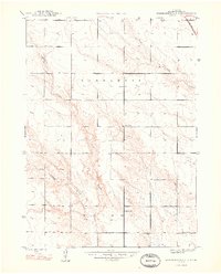
1948 · Hemingford 4 NE
USGS Topo · 1:24,000
1948 · Hemingford 4 NW
USGS Topo · 1:24,000
1948 · Nonpareil
USGS Topo · 1:24,000
1948 · Box Butte Reservoir East
USGS Topo · 1:24,000