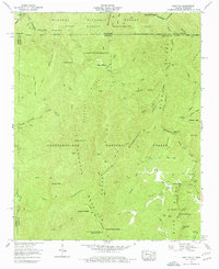
1959 Map of Hemp Top
USGS Topo · Published 1977About this map
Cohutta Mountain and the high ridges of the Blue Ridge dominate this interior look at the wilderness straddling the Tennessee-Georgia line during the late 1950s. The landscape is defined by the steep drainage basins of the Jacks River and the Conasauga River, where human presence is sparse and concentrated along creek bottoms and remote gaps. Evidence of earlier settlement and mountain industry appears at Jones Mill and the nearby Bethlehem Ch and Jones Cem, markers of the community life that persisted before the area was fully absorbed into the Chattahoochee National Forest and Cherokee National Forest.
Find a feature on this map
101 named features on this map. Tap any name to fly to it.
Don’t see what you’re looking for? This feature index may not catch every label — zoom into the map to look around manually.
Map Details
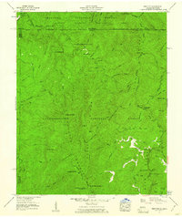
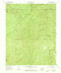
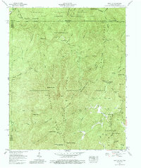
Editions of this 1959 Hemp Top Map
4 editions found
Other maps of this area

1886 · Dalton
USGS Topo · 1:125,000

1886 · Cleveland
USGS Topo · 1:125,000

1888 · Ellijay
USGS Topo · 1:125,000

1892 · Cleveland
USGS Topo · 1:125,000

1892 · Ellijay
USGS Topo · 1:125,000

1892 · Dalton
USGS Topo · 1:125,000

1893 · Murphy
USGS Topo · 1:125,000

1895 · Cleveland
USGS Topo · 1:125,000

1897 · Dalton
USGS Topo · 1:125,000

1898 · Ellijay
USGS Topo · 1:125,000