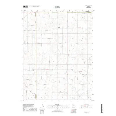
2017 Map of Hemple
USGS Topo · Published 2017About this map
Hemple and Starfield anchor this rural landscape where the borderlands of Buchanan, DeKalb, and Clinton counties meet. The terrain is defined by a dense network of drainage, with numerous branches such as James Br, Roger Br, and McGuire Br feeding into larger watercourses like Castile Cr and Malden Cr. This hydraulic pattern shaped the early settlement of the region, dictating the placement of farmsteads and rural infrastructure.
Find a feature on this map
51 named features on this map. Tap any name to fly to it.
Don’t see what you’re looking for? This feature index may not catch every label — zoom into the map to look around manually.
Map Details
Editions of this 2017 Hemple Map
This is the sole edition of this map. No revisions or reprints were ever made.
Other maps of this area

1923 · Clarksdale
USGS Topo · 1:62,500

1923 · Maysville
USGS Topo · 1:62,500

1925 · Gower
USGS Topo · 1:62,500

1925 · Clarksdale
USGS Topo · 1:62,500

1925 · Plattsburg
USGS Topo · 1:62,500

1925 · Maysville
USGS Topo · 1:62,500

1950 · Kansas City
USGS Topo · 1:250,000

1951 · Edgerton
USGS Topo · 1:24,000
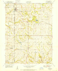
1951 · Gower
USGS Topo · 1:24,000

1954 · Kansas City
USGS Topo · 1:250,000