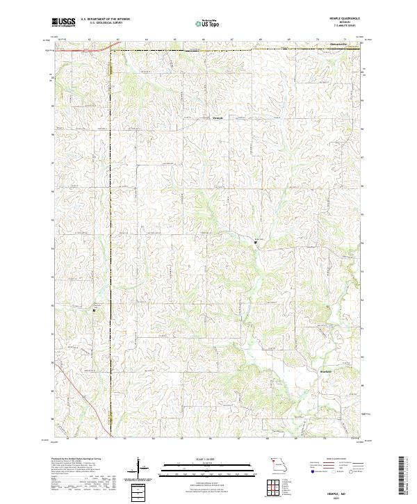
2021 Map of Hemple
USGS Topo · Published 2021About this map
Hemple and Starfield sit at the center of this agricultural landscape in Clinton County, where the terrain is defined by a dense network of creek branches and rural roads. The area is divided by the Buchanan and Clinton county lines, with Stewartsville anchoring the northern boundary near the DeKalb border. Small cemeteries like New Harmony Cem and Keller Cem are tucked away near watercourses such as Malden Cr and McGuire Br, serving as quiet markers of the local community's history. The drainage pattern of Castile Cr and its various tributaries creates a complex topography of ridges and valleys that has dictated the placement of local thoroughfares like State Hwy N and NW State Hwy VV. This map captures the persistent rural character of northwest Missouri, showing how the land is still organized around historic family-named landmarks and traditional creek-fed drainage basins.
Find a feature on this map
82 named features on this map. Tap any name to fly to it.
Don’t see what you’re looking for? This feature index may not catch every label — zoom into the map to look around manually.
Map Details
Editions of this 2021 Hemple Map
This is the sole edition of this map. No revisions or reprints were ever made.
Other maps of this area

1923 · Clarksdale
USGS Topo · 1:62,500

1923 · Maysville
USGS Topo · 1:62,500

1925 · Gower
USGS Topo · 1:62,500

1925 · Clarksdale
USGS Topo · 1:62,500

1925 · Plattsburg
USGS Topo · 1:62,500

1925 · Maysville
USGS Topo · 1:62,500

1950 · Kansas City
USGS Topo · 1:250,000

1951 · Edgerton
USGS Topo · 1:24,000
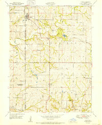
1951 · Gower
USGS Topo · 1:24,000

1954 · Kansas City
USGS Topo · 1:250,000