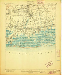
1903 Map of Hempstead
USGS Topo · Published 1905About this map
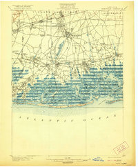
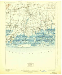
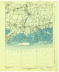
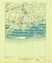
Hempstead serves as the hub of a landscape defined by its transition from the interior plains toward a complex network of coastal inlets and barrier islands. This early century view reveals a series of established rail-oriented villages like Garden City, Mineola, and Floral Park along the Long Island R.R. (Hempstead Branch), illustrating the suburban growth that would soon dominate Nassau County. The infrastructure of the era is remarkably clear, showing the extensive Hempstead Reservoir and Millburn Reservoir that supported regional water needs. Along the southern shoreline, the map details a world of tidal channels and salt marshes, including Hewlett Bay and Middle Bay. These waters are protected by the outer sand strips of Long Beach, Hicks Beach, and Short Beach, where lifesaving stations like Long Beach L.S. Sta. and Short Beach L.S. Sta. stood watch over the Atlantic approaches.
Find a feature on this map
131 named features on this map. Tap any name to fly to it.
Don’t see what you’re looking for? This feature index may not catch every label — zoom into the map to look around manually.
Map Details
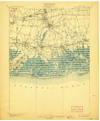
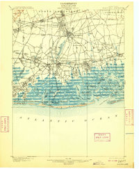
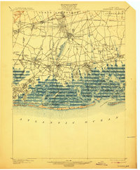
Editions of this 1903 Hempstead Map
9 editions found

Other maps of this area

1889 · Brooklyn
USGS Topo · 1:62,500

1891 · Brooklyn
USGS Topo · 1:62,500

1891 · Harlem
USGS Topo · 1:62,500

1897 · Harlem
USGS Topo · 1:62,500

1897 · Brooklyn
USGS Topo · 1:62,500

1897 · Hempstead
USGS Topo · 1:62,500

1897 · Oyster Bay
USGS Topo · 1:62,500

1898 · Harlem
USGS Topo · 1:62,500

1898 · Hempstead
USGS Topo · 1:62,500

1898 · Brooklyn
USGS Topo · 1:62,500