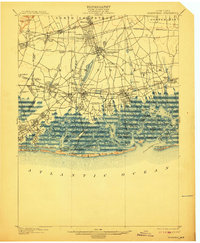
1903 Map of Hempstead
USGS Topo · Published 1912About this map
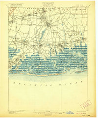
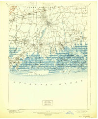
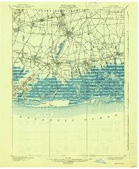
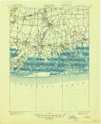
The town of Hempstead serves as the hub of this Long Island landscape at the turn of the century, situated between the expanding rail networks of the Long Island R. R. and the intricate coastal wetlands of the Atlantic shore. The interior reveals a pattern of early suburban development and resource management, dominated by the massive Hempstead Reservoir and smaller impoundments like Millburn Reservoir and Smith Pond. Transportation routes are in transition, featuring the Long Island Motor Parkway cutting across the northern plains near Garden City.
Find a feature on this map
120 named features on this map. Tap any name to fly to it.
Don’t see what you’re looking for? This feature index may not catch every label — zoom into the map to look around manually.
Map Details
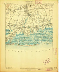
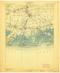
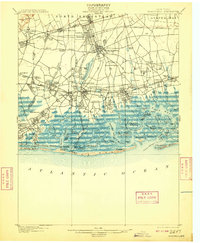
Editions of this 1903 Hempstead Map
9 editions found

Other maps of this area

1889 · Brooklyn
USGS Topo · 1:62,500

1891 · Brooklyn
USGS Topo · 1:62,500

1891 · Harlem
USGS Topo · 1:62,500

1897 · Harlem
USGS Topo · 1:62,500

1897 · Brooklyn
USGS Topo · 1:62,500

1897 · Hempstead
USGS Topo · 1:62,500

1897 · Oyster Bay
USGS Topo · 1:62,500

1898 · Harlem
USGS Topo · 1:62,500

1898 · Hempstead
USGS Topo · 1:62,500

1898 · Brooklyn
USGS Topo · 1:62,500