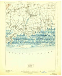
1903 Map of Hempstead
USGS Topo · Published 1929About this map
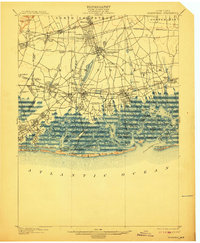
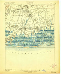
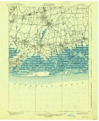
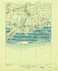
Hempstead sits at the center of this detailed survey, which illustrates the rapid suburbanization of Nassau County at the turn of the century. The map highlights a dense network of rail lines including the Long Island and its Hempstead Branch, which spurred the growth of residential hubs like Garden City, Mineola, and Floral Park. To the south, the intricate marshlands and tidal channels of Merrick Bay and East Bay contrast with the developing mainland. A significant religious landmark, the Camp Meeting Grounds, appears near Smithville South, while the massive Hempstead Reservoir and Millburn Reservoir dominate the central drainage system. Along the Atlantic coast, the presence of the Long Beach L.S. Sta. and Pt. Lookout L.S. Sta. underscores the importance of maritime safety near Hicks Beach and Short Beach.
Find a feature on this map
118 named features on this map. Tap any name to fly to it.
Don’t see what you’re looking for? This feature index may not catch every label — zoom into the map to look around manually.
Map Details
Editions of this 1903 Hempstead Map
9 editions found

Other maps of this area

1889 · Brooklyn
USGS Topo · 1:62,500

1891 · Brooklyn
USGS Topo · 1:62,500

1891 · Harlem
USGS Topo · 1:62,500

1897 · Harlem
USGS Topo · 1:62,500

1897 · Brooklyn
USGS Topo · 1:62,500

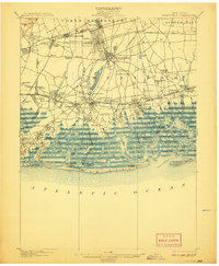
1897 · Hempstead
USGS Topo · 1:62,500

1897 · Oyster Bay
USGS Topo · 1:62,500

1898 · Harlem
USGS Topo · 1:62,500

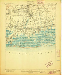
1898 · Hempstead
USGS Topo · 1:62,500

1898 · Brooklyn
USGS Topo · 1:62,500