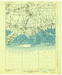
1903 Map of Hempstead
USGS Topo · Published 1938About this map
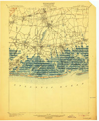
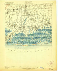
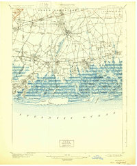
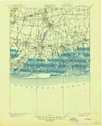
Nassau County's south shore reveals a complex network of coastal inlets and maturing rail suburbs in this turn-of-the-century landscape. The Long Island Railroad dominates the interior transit patterns, branching toward Hempstead, Long Beach, and the Montauk Division, facilitating the growth of villages like Garden City and Rockville Center. In the coastal wetlands, a labyrinth of water features including Middle Bay and Merrick Bay is punctuated by dozens of named islands and meadows, such as Barnum Id. and Neds Meadow. Further inland, the Hempstead Reservoir and East Meadow Brook define the local drainage system. Historical sites of interest include the Camp Meeting Grounds near Freeport and life-saving stations like the Pt. Lookout L.S. Sta. and Long Beach L.S. Sta., marking the edge of the Atlantic coast.
Find a feature on this map
116 named features on this map. Tap any name to fly to it.
Don’t see what you’re looking for? This feature index may not catch every label — zoom into the map to look around manually.
Map Details
Editions of this 1903 Hempstead Map
9 editions found

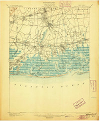
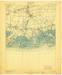
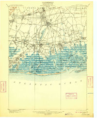
Other maps of this area

1889 · Brooklyn
USGS Topo · 1:62,500

1891 · Brooklyn
USGS Topo · 1:62,500

1891 · Harlem
USGS Topo · 1:62,500

1897 · Harlem
USGS Topo · 1:62,500

1897 · Brooklyn
USGS Topo · 1:62,500

1897 · Hempstead
USGS Topo · 1:62,500

1897 · Oyster Bay
USGS Topo · 1:62,500

1898 · Harlem
USGS Topo · 1:62,500

1898 · Hempstead
USGS Topo · 1:62,500

1898 · Brooklyn
USGS Topo · 1:62,500