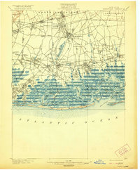
1903 Map of Hempstead
USGS Topo · Published 1921About this map
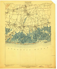
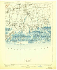
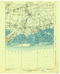
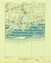
Hempstead and its surrounding villages occupy the heart of this Long Island landscape at the turn of the century, a period when the area was transitioning from a rural agricultural district to a vital suburban hub. The intricate rail network of the Long Island Railroad branches through growing settlements like Mineola, Garden City, and Floral Park, illustrating the infrastructure that fueled the region's development.
Find a feature on this map
109 named features on this map. Tap any name to fly to it.
Don’t see what you’re looking for? This feature index may not catch every label — zoom into the map to look around manually.
Map Details
Editions of this 1903 Hempstead Map
9 editions found

Other maps of this area

1889 · Brooklyn
USGS Topo · 1:62,500

1891 · Brooklyn
USGS Topo · 1:62,500

1891 · Harlem
USGS Topo · 1:62,500

1897 · Harlem
USGS Topo · 1:62,500

1897 · Brooklyn
USGS Topo · 1:62,500

1897 · Hempstead
USGS Topo · 1:62,500

1897 · Oyster Bay
USGS Topo · 1:62,500

1898 · Harlem
USGS Topo · 1:62,500

1898 · Hempstead
USGS Topo · 1:62,500

1898 · Brooklyn
USGS Topo · 1:62,500