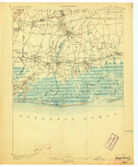
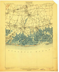
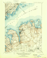
1903 Map of Hempstead
USGS Topo · Published 1903This historical map portrays the area of Hempstead in 1903, primarily covering Nassau County as well as portions of Queens County. Featuring a scale of 1:62500, this map provides a highly detailed snapshot of the terrain, roads, buildings, counties, and historical landmarks in the Hempstead region at the time. Published in 1903, it is one of 9 known editions of this map due to revisions or reprints.
Find a feature on this map
133 named features on this map. Tap any name to fly to it.
Don’t see what you’re looking for? This feature index may not catch every label — zoom into the map to look around manually.
Map Details
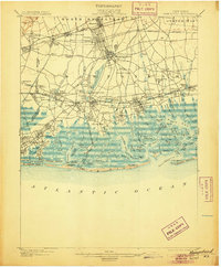
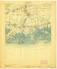
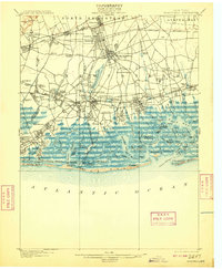
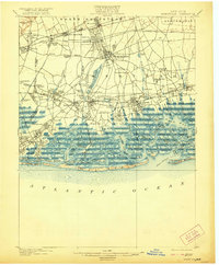
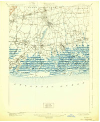
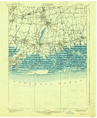
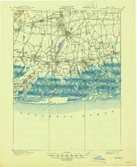
Editions of this 1903 Hempstead Map
9 editions found
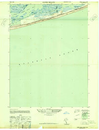
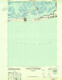
Historical Maps of Mineola Through Time
13 maps found

1897 Hempstead
Nassau County, NY

1897 Oyster Bay
Nassau County, NY

1898 Hempstead
Nassau County, NY

1898 Oyster Bay
Nassau County, NY

1899 Hempstead
Nassau County, NY
1900 Oyster Bay
Nassau County, NY
1903 Hempstead
Nassau County, NY
1947 Jones Beach
Nassau County, NY
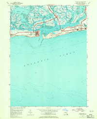
1947 Jones Inlet
Nassau County, NY
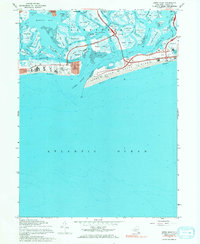
1954 Jones Inlet
Nassau County, NY
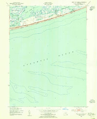
1954 West Gilgo Beach
Nassau County, NY
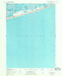
1967 Jones Inlet
Nassau County, NY
1967 West Gilgo Beach
Nassau County, NY