
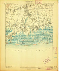
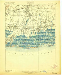
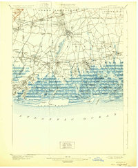
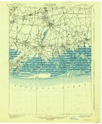
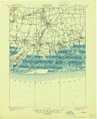
1903 Map of Hempstead
USGS Topo · Published 1903About this map
The planned landscape of Garden City and the expanding village of Hempstead anchor this 19th-century survey of southern Nassau County. The inland topography is defined by the early infrastructure of the Long Island R. R., including the Hempstead Branch and the Montauk Division, which spurred growth in commuter settlements like New Hyde Park and Floral Park. Water management is prominent through the Hempstead Reservoir and Millburn Reservoir, reflecting the area's role in the regional water supply system.
Find a feature on this map
133 named features on this map. Tap any name to fly to it.
Don’t see what you’re looking for? This feature index may not catch every label — zoom into the map to look around manually.
Map Details
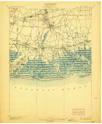
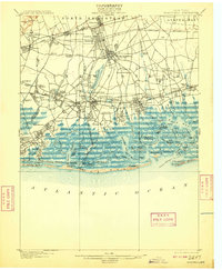
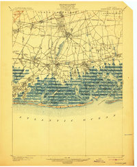
Editions of this 1903 Hempstead Map
9 editions found
Other maps of this area

1889 · Brooklyn
USGS Topo · 1:62,500

1891 · Brooklyn
USGS Topo · 1:62,500

1891 · Harlem
USGS Topo · 1:62,500

1897 · Harlem
USGS Topo · 1:62,500

1897 · Brooklyn
USGS Topo · 1:62,500

1897 · Hempstead
USGS Topo · 1:62,500

1897 · Oyster Bay
USGS Topo · 1:62,500

1898 · Harlem
USGS Topo · 1:62,500

1898 · Hempstead
USGS Topo · 1:62,500

1898 · Brooklyn
USGS Topo · 1:62,500