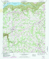
1947 Map of Henagar
USGS Topo · Published 1985About this map
Guntersville Lake dominates the northern edge of this landscape, where the Tennessee River winds past the Guntersville Reservation Boundary. Above the water, the terrain rises sharply into Coon Gulf, a rugged area marked by geological features like Saltpetre Cave and Split Rock Point. The plateau above is a patchwork of small communities and rural industry, with several strip mines operating near the Jackson and DeKalb county line.
Find a feature on this map
84 named features on this map. Tap any name to fly to it.
Don’t see what you’re looking for? This feature index may not catch every label — zoom into the map to look around manually.
Map Details
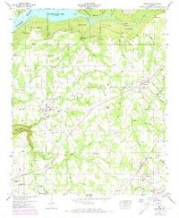
Editions of this 1947 Henagar Map
2 editions found
Other maps of this area

1886 · Stevenson
USGS Topo · 1:125,000

1892 · Stevenson
USGS Topo · 1:125,000

1895 · Stevenson
USGS Topo · 1:125,000

1936 · Ider
USGS Topo · 1:24,000

1936 · Wannville
USGS Topo · 1:24,000

1936 · Flat Rock
USGS Topo · 1:24,000

1936 · Dugout Valley
USGS Topo · 1:24,000

1936 · Dutton
USGS Topo · 1:24,000

1936 · Sylvania
USGS Topo · 1:24,000

1936 · Hollywood
USGS Topo · 1:24,000