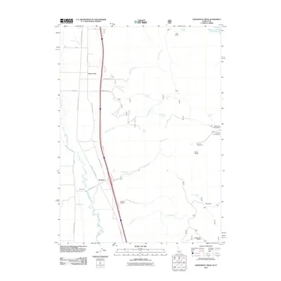
2011 Map of Henderson Creek
USGS Topo · Published 2011About this map
The Malad River corridor anchors this 2011 survey of the border region between Idaho and Utah. The landscape is defined by the sharp contrast between the irrigated valley floor and the rising slopes of the Malad Range to the east. Small settlements such as Woodruff and Cherry Creek sit along the path of S Old Highway 191, reflecting a rural settlement pattern that follows the water sources flowing out of the mountains.
Find a feature on this map
31 named features on this map. Tap any name to fly to it.
Don’t see what you’re looking for? This feature index may not catch every label — zoom into the map to look around manually.
Map Details
Editions of this 2011 Henderson Creek Map
This is the sole edition of this map. No revisions or reprints were ever made.
Other maps of this area

1954 · Pocatello
USGS Topo · 1:250,000

1954 · Brigham City
USGS Topo · 1:250,000

1958 · Pocatello
USGS Topo · 1:250,000

1958 · Brigham City
USGS Topo · 1:250,000

1962 · Brigham City
USGS Topo · 1:250,000
1964 · Clarkston
USGS Topo · 1:24,000
1964 · Portage
USGS Topo · 1:24,000
1968 · Samaria
USGS Topo · 1:24,000
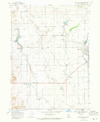
1968 · Malad City West
USGS Topo · 1:24,000
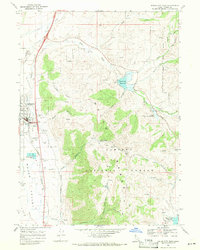
1968 · Malad City East
USGS Topo · 1:24,000