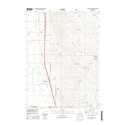
2013 Map of Henderson Creek
USGS Topo · Published 2013About this map
The Malad River and its accompanying Samaria Lake Canal define the valley floor where the Idaho-Utah border meets. This survey from 2013 highlights the transition from the irrigated agricultural lands of Malad Valley into the high, spring-fed elevations of the Caribou National Forest. Settlement is concentrated along the historic route of S Old Highway 191, connecting the small communities of Cherry Creek, Woodruff, and Portage. The landscape is etched with deep drainages such as Black Canyon and Burnett Canyon, while the eastern portion of the sheet features the peaks of the Malad Range. Numerous water sources, including Willow Spring and Deer House Spring, support the backcountry near Dry Creek Campground. This map provides a clear view of the rural infrastructure at the state line, from the Race Track near the border to the Weston Reservoir Public Fishing Area in the northeast.
Find a feature on this map
52 named features on this map. Tap any name to fly to it.
Don’t see what you’re looking for? This feature index may not catch every label — zoom into the map to look around manually.
Map Details
Editions of this 2013 Henderson Creek Map
This is the sole edition of this map. No revisions or reprints were ever made.
Other maps of this area

1954 · Pocatello
USGS Topo · 1:250,000

1954 · Brigham City
USGS Topo · 1:250,000

1958 · Pocatello
USGS Topo · 1:250,000

1958 · Brigham City
USGS Topo · 1:250,000

1962 · Brigham City
USGS Topo · 1:250,000
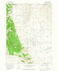
1964 · Clarkston
USGS Topo · 1:24,000
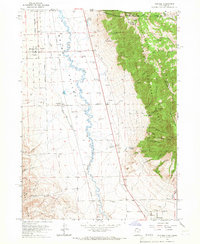
1964 · Portage
USGS Topo · 1:24,000

1968 · Samaria
USGS Topo · 1:24,000

1968 · Malad City West
USGS Topo · 1:24,000

1968 · Malad City East
USGS Topo · 1:24,000