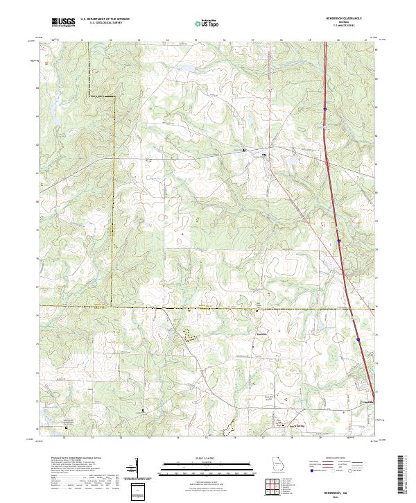
2024 Map of Henderson
USGS Topo · Published 2024About this map
Unadilla anchors the southeastern corner of this Middle Georgia landscape where the boundaries of Macon, Houston, and Dooly counties converge. The terrain is defined by a dense network of tributaries including Big Creek, Turkey Creek, and Hogcrawl Creek which weave through a patchwork of agricultural lands and woodlots. For those researching family history, the map identifies several local burial grounds such as Shiloh Cem, Henderson Cem, and New Bethel Cem situated near the crossroads of Emerich. Modern transportation corridors like General Courtney Hodge Blvd and the interstate system bisect the older rural road network, while the Snow Hill Airstrip reflects the region's continued utility for private aviation. Small settlements like Snow Spring and distinctive landmarks like Kersey Lake provide specific points of reference for tracing the evolution of these communities into the twenty-first century.
Find a feature on this map
62 named features on this map. Tap any name to fly to it.
Don’t see what you’re looking for? This feature index may not catch every label — zoom into the map to look around manually.
Map Details
Editions of this 2024 Henderson Map
This is the sole edition of this map. No revisions or reprints were ever made.
Historical Maps of Emerich Through Time
12 maps found
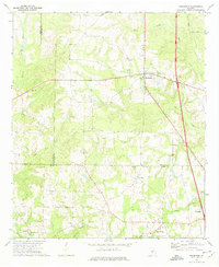
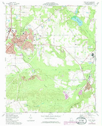
1971 Henderson
Houston County, GA
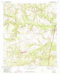
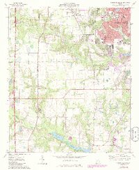
1972 Perry West
Houston County, GA
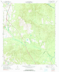
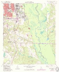
1973 Hayneville
Houston County, GA
1973 Perry East
Houston County, GA
1973 Warner Robins SE
Houston County, GA
1973 Warner Robins SW
Houston County, GA
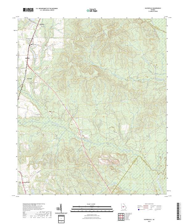
2024 Hayneville
Houston County, GA
2024 Henderson
Houston County, GA
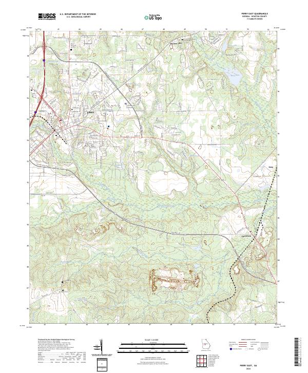
2024 Perry East
Houston County, GA
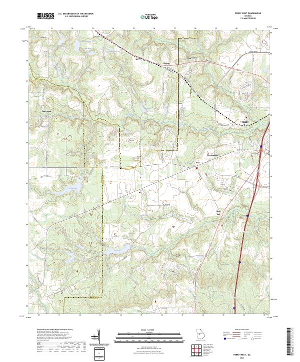
2024 Perry West
Houston County, GA
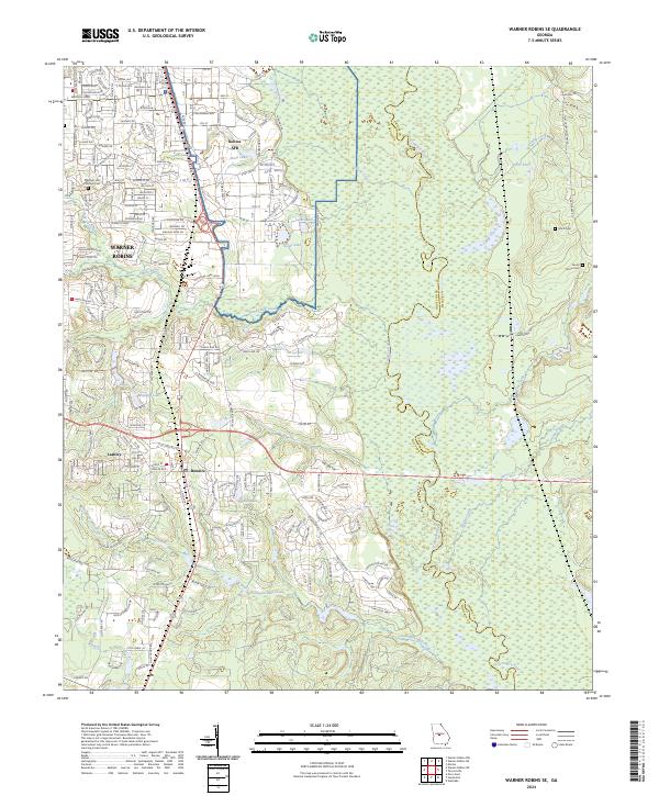
2024 Warner Robins SE
Houston County, GA
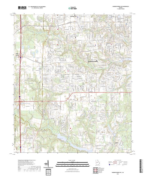
2024 Warner Robins SW
Houston County, GA