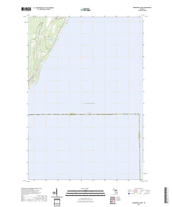
2023 Map of Henderson Lakes
USGS Topo · Published 2023About this map
Lake Michigan dominates the eastern expanse of this coastal Delta County landscape, where the waters of Green Bay meet the shoreline near the border of Menominee County. Along the narrow strip of land to the west, the Bark River flows through a series of wetland-rich areas characterized by the namesake Henderson Lakes. This terrain is a quiet stretch of the Upper Peninsula, punctuated by local routes like Lake Shore Dr and Co Rd 535 that navigate the varied topography of the shoreline. The inclusion of the South Ford River Cem near the northern boundary provides a specific point of interest for genealogists tracing family histories in this part of Michigan. The map reflects a contemporary view of these traditional townships, where the relationship between the Great Lakes and the small inland water bodies remains the defining geographic feature.
Find a feature on this map
11 named features on this map. Tap any name to fly to it.
Don’t see what you’re looking for? This feature index may not catch every label — zoom into the map to look around manually.
Map Details
Editions of this 2023 Henderson Lakes Map
This is the sole edition of this map. No revisions or reprints were ever made.
Other maps of this area

1932 · Bark River NE
USGS Topo · 1:31,680

1954 · Escanaba
USGS Topo · 1:250,000

1957 · Escanaba
USGS Topo · 1:250,000

1958 · Escanaba
USGS Topo · 1:250,000

1958 · Escanaba
USGS Topo · 1:62,500

1960 · Ellison Bay
USGS Topo · 1:62,500

1963 · Bark River
USGS Topo · 1:62,500

1963 · Cedar River
USGS Topo · 1:62,500

1981 · Marinette
USGS Topo · 1:100,000

1982 · Escanaba
USGS Topo · 1:100,000