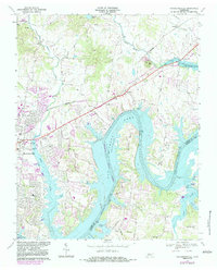
1968 Map of Hendersonville
USGS Topo · Published 1983About this map
Old Hickory Lake dominates the central landscape of this 1968 study, illustrating the mid-century transformation of the Cumberland River valley. The map reveals Hendersonville in a state of rapid suburban expansion, with purple overprint revisions from 1980 highlighting new residential developments around Lakeside Sch and the Seaboard Coast Line railroad. This growth contrasts with the established rural character of the northern hills near Shackle Island and Peytona.
Find a feature on this map
52 named features on this map. Tap any name to fly to it.
Don’t see what you’re looking for? This feature index may not catch every label — zoom into the map to look around manually.
Map Details
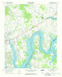
Editions of this 1968 Hendersonville Map
2 editions found
Other maps of this area

1903 · Nashville
USGS Topo · 1:125,000

1932 · Hermitage
USGS Topo · 1:62,500

1942 · Gallatin
USGS Topo · 1:100,000

1942 · Lebanon
USGS Topo · 1:100,000

1951 · Martha
USGS Topo · 1:24,000

1952 · Goodlettsville
USGS Topo · 1:24,000

1952 · Hendersonville
USGS Topo · 1:24,000

1952 · Hermitage
USGS Topo · 1:24,000

1952 · Nashville East
USGS Topo · 1:24,000

1953 · Cottontown
USGS Topo · 1:24,000