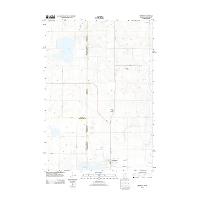
2013 Map of Hendricks
USGS Topo · Published 2013About this map
Hendricks sits at the southern edge of this survey, established where the Co Hwy-17 and MN-271 corridors meet. The landscape is defined by the Coteau des Prairies, a high glacial plateau that shapes the drainage patterns of the region, including the headwaters of the Lac qui Parle River. This upland geography is punctuated by significant water bodies such as Fish Lake and Lake Hendricks, which straddles the state line between Minnesota and South Dakota. Local history is anchored by several burial sites, including Bohemian Cem in the north and Hansonville Cem near the center of the quadrangle. The map documents a transition from the agricultural grid roads like 487th Ave to the natural contours of the lakeshores and riverbanks that historically dictated local settlement and movement.
Find a feature on this map
30 named features on this map. Tap any name to fly to it.
Don’t see what you’re looking for? This feature index may not catch every label — zoom into the map to look around manually.
Map Details
Editions of this 2013 Hendricks Map
This is the sole edition of this map. No revisions or reprints were ever made.
Other maps of this area

1953 · Watertown
USGS Topo · 1:250,000

1958 · Watertown
USGS Topo · 1:250,000

1967 · Canby
USGS Topo · 1:24,000

1967 · Canby NW
USGS Topo · 1:24,000

1967 · Lake Benton NW
USGS Topo · 1:24,000

1967 · Canby SE
USGS Topo · 1:24,000

1967 · Hendricks
USGS Topo · 1:24,000

1967 · Lake Benton NE
USGS Topo · 1:24,000

1970 · Brandt
USGS Topo · 1:24,000

1970 · White NE
USGS Topo · 1:24,000
Featured Places
- Hendricks, MN
- Scandinavia Township, SD
- Lake Hendricks Township, SD
- Brookings County, SD
- Deuel County, SD