1967 Map of Hendricks
USGS Topo · Published 1969About this map
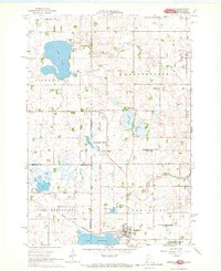
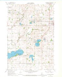
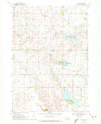
Lake Hendricks dominates the southwestern corner of this borderland survey, where the township of Hendricks sits adjacent to the Chicago and North Western rail line. The landscape is a complex network of prairie potholes and wetlands, including Fish Lake, Twin Lake, and Black Slough, shaped by the headwaters of the Lac qui Parle River. This 1960s perspective captures the rural character of Lincoln County, Minnesota, and the neighboring South Dakota counties of Brookings and Deuel.
Find a feature on this map
31 named features on this map. Tap any name to fly to it.
Don’t see what you’re looking for? This feature index may not catch every label — zoom into the map to look around manually.
Map Details
Editions of this 1967 Hendricks Map
This is the sole edition of this map. No revisions or reprints were ever made.
Other maps of this area

1953 · Watertown
USGS Topo · 1:250,000

1958 · Watertown
USGS Topo · 1:250,000
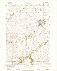
1967 · Canby
USGS Topo · 1:24,000
1967 · Canby NW
USGS Topo · 1:24,000
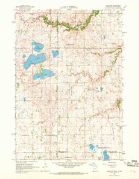
1967 · Lake Benton NW
USGS Topo · 1:24,000
1967 · Canby SE
USGS Topo · 1:24,000
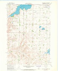
1967 · Lake Benton NE
USGS Topo · 1:24,000
1970 · Brandt
USGS Topo · 1:24,000
1970 · White NE
USGS Topo · 1:24,000
1970 · Astoria
USGS Topo · 1:24,000
Featured Places
- Hendricks, MN
- Scandinavia Township, SD
- Lake Hendricks Township, SD
- Brookings County, SD
- Lincoln County, MN