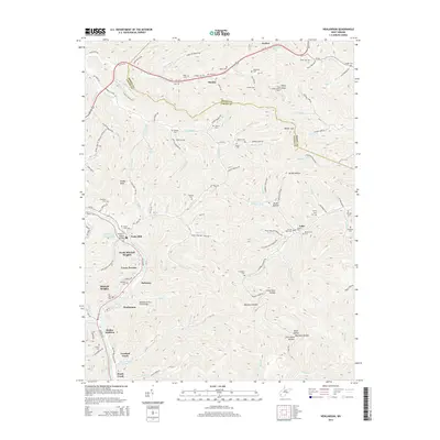
2014 Map of Henlawson
USGS Topo · Published 2014About this map
The Guyandotte River winds through this West Virginia valley, connecting a dense string of communities including Henlawson, Pecks Mill, and North Mitchell Heights. The terrain is characterized by steep ridges and deep hollows, such as Big Dark Hollow and Broad Hollow, which have shaped the local transportation and settlement patterns. Infrastructure landmarks like the Homer D Nelson Bridge PO and the Henlawson Thru Truss Bridge highlight the vital river crossings that link these hillside neighborhoods to the primary corridor of Us-119.
Find a feature on this map
142 named features on this map. Tap any name to fly to it.
Don’t see what you’re looking for? This feature index may not catch every label — zoom into the map to look around manually.
Map Details
Editions of this 2014 Henlawson Map
This is the sole edition of this map. No revisions or reprints were ever made.
Other maps of this area

1887 · Warfield
USGS Topo · 1:125,000

1891 · Oceana
USGS Topo · 1:125,000

1891 · Warfield
USGS Topo · 1:125,000

1892 · Huntington
USGS Topo · 1:125,000

1893 · Oceana
USGS Topo · 1:125,000

1898 · Huntington
USGS Topo · 1:125,000

1898 · Oceana
USGS Topo · 1:125,000

1899 · Charleston
USGS Topo · 1:125,000

1902 · Midkiff
USGS Topo · 1:62,500

1907 · Midkiff
USGS Topo · 1:62,500