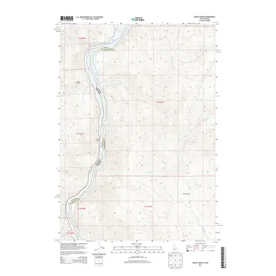
2013 Map of Henley Basin
USGS Topo · Published 2013About this map
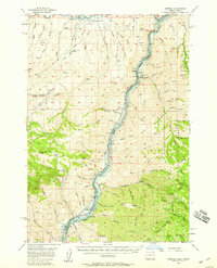
Brownlee Reservoir dominates the drainage patterns of this borderland, where the Snake River separates Baker County, Oregon, from Washington County, Idaho. The steep canyon walls are etched by numerous seasonal and perennial watercourses, including the curiously named Deafy Cr and Bay Horse Cr. The topography reveals a dramatic elevation shift from the reservoir floor up to the surrounding ridges, punctuated by sharp landforms like Billy Gulch and Ryan Gulch.
Find a feature on this map
24 named features on this map. Tap any name to fly to it.
Don’t see what you’re looking for? This feature index may not catch every label — zoom into the map to look around manually.
Map Details
Editions of this 2013 Henley Basin Map
This is the sole edition of this map. No revisions or reprints were ever made.
Other maps of this area
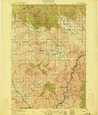
1915 · Pine
USGS Topo · 1:125,000
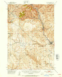
1951 · Huntington
USGS Topo · 1:62,500
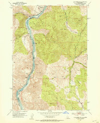
1952 · Olds Ferry NW
USGS Topo · 1:24,000
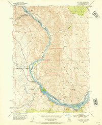
1952 · Olds Ferry
USGS Topo · 1:24,000
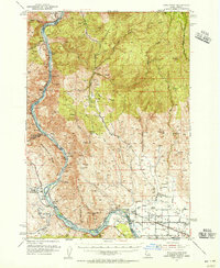
1952 · Olds Ferry
USGS Topo · 1:62,500
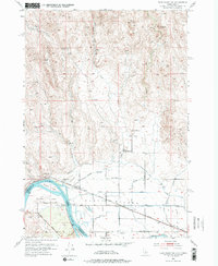
1952 · Olds Ferry SE
USGS Topo · 1:24,000

1955 · Baker
USGS Topo · 1:250,000
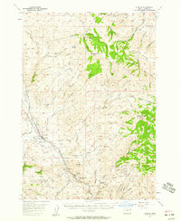
1957 · Durkee
USGS Topo · 1:62,500
1957 · Mineral
USGS Topo · 1:62,500

1959 · Baker
USGS Topo · 1:250,000