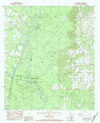
1983 Map of Henleyfield
USGS Topo · Published 1984About this map
The Pearl River forms a complex boundary between Mississippi and Louisiana, weaving through a dense network of bayous and oxbow lakes. This landscape is defined by the expansive Bogue Chitto National Wildlife Refuge, which encompasses various wetland features including Hells Gate, Jarrell Bayou, and Devils Swamp. The map documents the rural character of the region as it appeared in the early 1980s, centered on the community of Henleyfield and the nearby village of Cybur.
Find a feature on this map
60 named features on this map. Tap any name to fly to it.
Don’t see what you’re looking for? This feature index may not catch every label — zoom into the map to look around manually.
Map Details
Editions of this 1983 Henleyfield Map
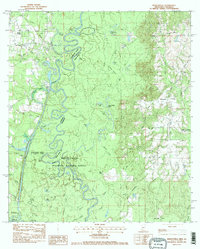
2 editions found
Other maps of this area

1942 · Talisheek
USGS Topo · 1:31,680

1942 · Rio
USGS Topo · 1:31,680

1942 · Walkiah Bluff
USGS Topo · 1:31,680

1942 · Pools Bluff
USGS Topo · 1:31,680

1949 · Bogalusa East
USGS Topo · 1:31,680

1949 · Bogalusa West
USGS Topo · 1:31,680

1953 · Mobile
USGS Topo · 1:250,000

1957 · Mobile
USGS Topo · 1:250,000

1958 · Picayune
USGS Topo · 1:62,500

1959 · Bogalusa
USGS Topo · 1:62,500