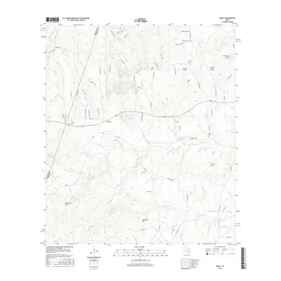
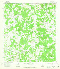
2016 Map of Henly
USGS Topo · Published 2016About this map
Henly serves as the focal point for this section of the Texas Hill Country, where the landscape is defined by the headwaters of numerous creeks and branches. The settlement is surrounded by a significant concentration of family burial grounds, including the Henly Cem, Pursley Cem, and Middlebrooks Cem, reflecting the deep-rooted genealogical history of the area. These cemeteries, along with others like the McKellar Cem and Sprouse Cem, are often situated near topographic breaks or small watercourses.
Find a feature on this map
84 named features on this map. Tap any name to fly to it.
Don’t see what you’re looking for? This feature index may not catch every label — zoom into the map to look around manually.
Map Details
Editions of this 2016 Henly Map
This is the sole edition of this map. No revisions or reprints were ever made.
Other maps of this area

1887 · Blanco
USGS Topo · 1:125,000

1894 · Blanco
USGS Topo · 1:125,000
1954 · Llano
USGS Topo · 1:250,000
1955 · Llano
USGS Topo · 1:250,000
1956 · Llano
USGS Topo · 1:250,000
1963 · Dripping Springs
USGS Topo · 1:24,000
1963 · Rough Hollow
USGS Topo · 1:24,000
1963 · Yeager Creek
USGS Topo · 1:24,000
1963 · Henly
USGS Topo · 1:24,000
1963 · Payton
USGS Topo · 1:24,000