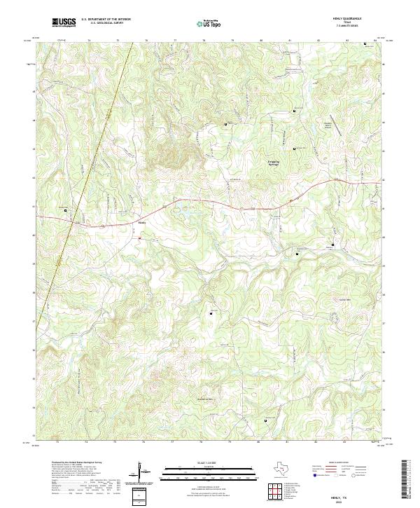
2022 Map of Henly
USGS Topo · Published 2022About this map
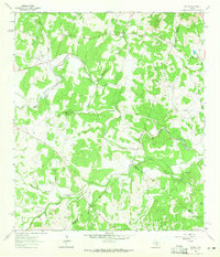
Henly and the western outskirts of Dripping Springs anchor this portion of the Texas Hill Country, where the landscape is defined by the headwaters of the Onion Cr and Barton Cr systems. The terrain is marked by significant local landmarks such as Roundtree Mtn and Gainor Mtn, which overlook a network of seasonal drainages including Mustang Br and Henly Br. The map reveals a high concentration of family burial grounds, such as Pursley Cem, Middlebrooks Cem, and the Martin Family Cem, reflecting the deep-rooted ranching heritage of Hays Co and Blanco Co. Transportation is centered on the corridor between Reeves Lake and the Bleakley Ranch Airport, with numerous ranch roads and trails like Thomassen Ranch Rd and Sorrell Rd connecting isolated homesteads through local features like Sprouse Hollow and Rattlesnake Hollow.
Find a feature on this map
91 named features on this map. Tap any name to fly to it.
Don’t see what you’re looking for? This feature index may not catch every label — zoom into the map to look around manually.
Map Details
Editions of this 2022 Henly Map
This is the sole edition of this map. No revisions or reprints were ever made.
Other maps of this area

1887 · Blanco
USGS Topo · 1:125,000

1894 · Blanco
USGS Topo · 1:125,000

1954 · Llano
USGS Topo · 1:250,000

1955 · Llano
USGS Topo · 1:250,000

1956 · Llano
USGS Topo · 1:250,000
1963 · Dripping Springs
USGS Topo · 1:24,000
1963 · Rough Hollow
USGS Topo · 1:24,000

1963 · Yeager Creek
USGS Topo · 1:24,000
1963 · Henly
USGS Topo · 1:24,000
1963 · Payton
USGS Topo · 1:24,000