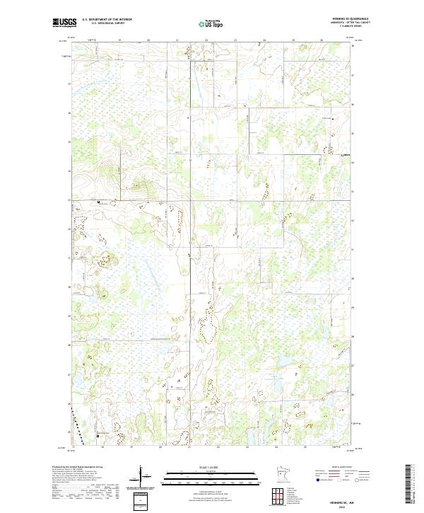
2022 Map of Henning SE
USGS Topo · Published 2022About this map
South Lemmerhirt Lake and a complex network of drainage systems anchor this rural Otter Tail County landscape. The mapping reveals an engineered agricultural environment defined by features like County Ditch Number Forty-nine, County Ditch Number Eight, and County Ditch Number Sixty-eight, which redirect water across the township lines. For those researching local heritage, the map identifies several key burial sites including Trinity Cem, Inman Cem, and Oak Ridge Cem, often located near the intersections of local routes like Elmwood Rd and 280th St. The small settlement of Lyman appears on the eastern edge of the survey, while the natural courses of Willow Cr and Mud Cr wind through the remaining wetlands, illustrating the balance between natural hydrology and the persistent efforts to manage the land for cultivation.
Find a feature on this map
28 named features on this map. Tap any name to fly to it.
Don’t see what you’re looking for? This feature index may not catch every label — zoom into the map to look around manually.
Map Details
Editions of this 2022 Henning SE Map
This is the sole edition of this map. No revisions or reprints were ever made.
Other maps of this area

1953 · Brainerd
USGS Topo · 1:250,000

1957 · Brainerd
USGS Topo · 1:250,000

1958 · Brainerd
USGS Topo · 1:250,000

1965 · Brainerd
USGS Topo · 1:250,000

1969 · Henning
USGS Topo · 1:24,000
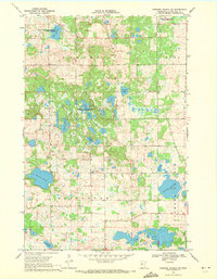
1969 · Parkers Prairie NW
USGS Topo · 1:24,000

1969 · Henning SE
USGS Topo · 1:24,000

1969 · Heinola
USGS Topo · 1:24,000

1969 · Wrightstown
USGS Topo · 1:24,000

1969 · Wadena
USGS Topo · 1:24,000