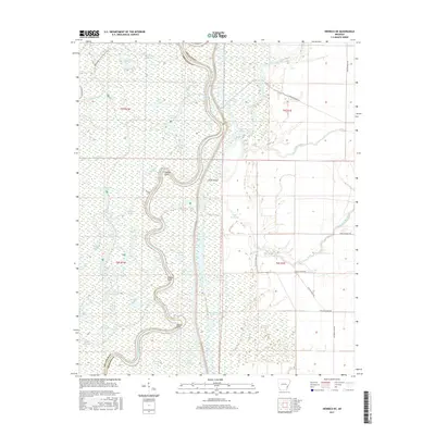
2017 Map of Henrico NE
USGS Topo · Published 2017About this map
The boundary between Arkansas and Phillips counties is defined by the winding course of the White River as it meandered in 2017. This landscape is a complex network of oxbow lakes and backwater bayous, illustrating the dynamic hydrology of the Arkansas Delta. The map highlights distinct riverine landmarks such as Jackass Point, Mussell Point, and Warnac Point, which mark the sharp bends of the river channel.
Find a feature on this map
55 named features on this map. Tap any name to fly to it.
Don’t see what you’re looking for? This feature index may not catch every label — zoom into the map to look around manually.
Map Details
Editions of this 2017 Henrico NE Map
This is the sole edition of this map. No revisions or reprints were ever made.
Other maps of this area
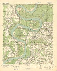
1930 · Mellwood
USGS Topo · 1:62,500
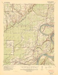
1939 · Modoc
USGS Topo · 1:62,500
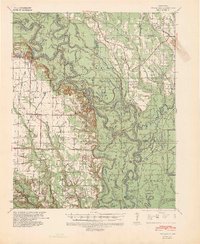
1939 · Indian Bay
USGS Topo · 1:62,500
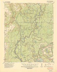
1939 · Henrico
USGS Topo · 1:62,500
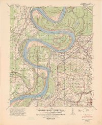
1939 · Mellwood
USGS Topo · 1:62,500
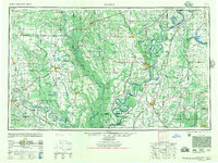
1948 · Helena
USGS Topo · 1:250,000
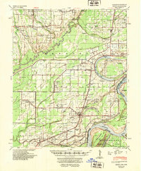
1948 · Modoc
USGS Topo · 1:62,500
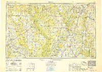
1950 · Helena
USGS Topo · 1:250,000
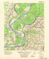
1954 · Mellwood
USGS Topo · 1:62,500
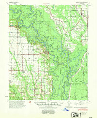
1954 · Indian Bay
USGS Topo · 1:62,500