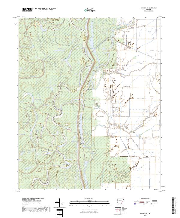
2024 Map of Henrico NE
USGS Topo · Published 2024About this map
The White River carves a highly sinuous path through the bottomlands of the Dale Bumpers White River NWR, defining the boundary between Arkansas and Phillips counties. This dense network of oxbows and wetlands is a quintessential Mississippi Delta landscape, where the shifting river has left behind numerous named water bodies like Horseshoe Lake, Tupelo Lake, and the peculiar Little H Lake. These features, along with the distinct meanders at Jackass Point, Wamac Point, and Mussell Point, indicate a river system that has historically reclaimed and reshaped its floodplain over centuries.
Find a feature on this map
51 named features on this map. Tap any name to fly to it.
Don’t see what you’re looking for? This feature index may not catch every label — zoom into the map to look around manually.
Map Details
Editions of this 2024 Henrico NE Map
This is the sole edition of this map. No revisions or reprints were ever made.
Other maps of this area

1930 · Mellwood
USGS Topo · 1:62,500

1939 · Modoc
USGS Topo · 1:62,500

1939 · Indian Bay
USGS Topo · 1:62,500

1939 · Henrico
USGS Topo · 1:62,500

1939 · Mellwood
USGS Topo · 1:62,500

1948 · Helena
USGS Topo · 1:250,000

1948 · Modoc
USGS Topo · 1:62,500

1950 · Helena
USGS Topo · 1:250,000

1954 · Mellwood
USGS Topo · 1:62,500

1954 · Indian Bay
USGS Topo · 1:62,500