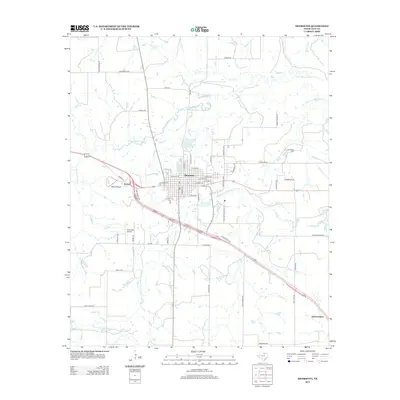
2012 Map of Henrietta
USGS Topo · Published 2012About this map
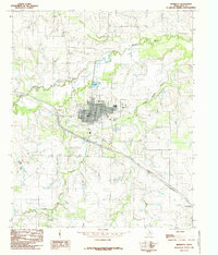
The city of Henrietta serves as the focal point of this North Texas survey, situated at the convergence of several regional transportation routes including Bus Highway 287 and Centennial Pkwy. The landscape is defined by the winding course of the Little Wichita River and its tributary, the Dry Fork Little Wichita River, which meander through the prairie terrain. Significant water management features are evident near the city center, including the Henrietta City Reservoir 1 and Henrietta Reservoir 2, supporting the local community.
Find a feature on this map
52 named features on this map. Tap any name to fly to it.
Don’t see what you’re looking for? This feature index may not catch every label — zoom into the map to look around manually.
Map Details
Editions of this 2012 Henrietta Map
This is the sole edition of this map. No revisions or reprints were ever made.
Other maps of this area

1954 · Wichita Falls
USGS Topo · 1:250,000
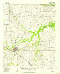
1956 · Henrietta
USGS Topo · 1:62,500
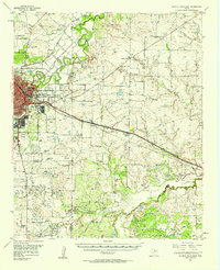
1957 · Wichita Falls East
USGS Topo · 1:62,500

1958 · Wichita Falls
USGS Topo · 1:250,000
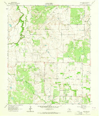
1963 · Deer Creek
USGS Topo · 1:24,000
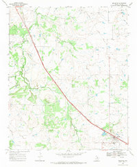
1968 · Bellevue
USGS Topo · 1:24,000
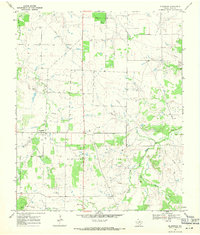
1968 · Bluegrove
USGS Topo · 1:24,000
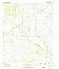
1972 · Dean
USGS Topo · 1:24,000
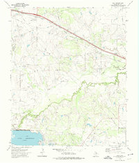
1972 · Jolly
USGS Topo · 1:24,000
1984 · Henrietta
USGS Topo · 1:24,000