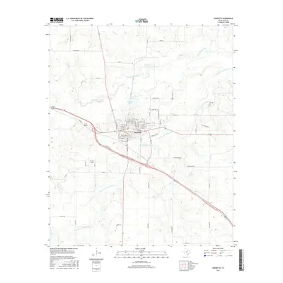
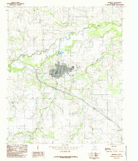
2016 Map of Henrietta
USGS Topo · Published 2016About this map
Henrietta serves as the central hub of this North Texas landscape, situated at the confluence of several regional waterways and roads. The town's grid is bounded by the Little Wichita River to the north and the Dry Fork Little Wichita River to the south, illustrating how the local geography influenced the settlement's footprint. Water management is a visible priority here, evidenced by the Henrietta Reservoir 2, Henrietta Lake, and the Clay County Country Club Lake. Local history and genealogy interest is anchored by the Cambridge Cem located to the northeast, while the presence of both Pierce Airport and Henrietta Airport speaks to the importance of general aviation in this part of Clay County. The surrounding terrain is crisscrossed by family-named roads such as Scheer Rd, Hohenstein Rd, and Borgman Rd, which reflect the area's agricultural and ranching heritage.
Find a feature on this map
76 named features on this map. Tap any name to fly to it.
Don’t see what you’re looking for? This feature index may not catch every label — zoom into the map to look around manually.
Map Details
Editions of this 2016 Henrietta Map
This is the sole edition of this map. No revisions or reprints were ever made.
Other maps of this area

1954 · Wichita Falls
USGS Topo · 1:250,000
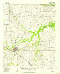
1956 · Henrietta
USGS Topo · 1:62,500
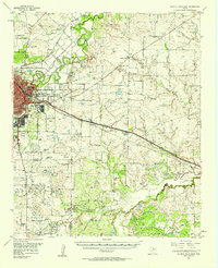
1957 · Wichita Falls East
USGS Topo · 1:62,500

1958 · Wichita Falls
USGS Topo · 1:250,000
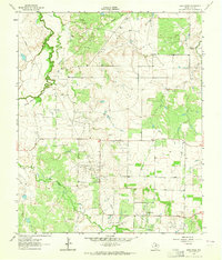
1963 · Deer Creek
USGS Topo · 1:24,000
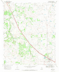
1968 · Bellevue
USGS Topo · 1:24,000
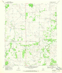
1968 · Bluegrove
USGS Topo · 1:24,000
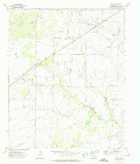
1972 · Dean
USGS Topo · 1:24,000
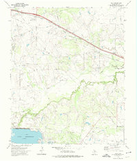
1972 · Jolly
USGS Topo · 1:24,000
1984 · Henrietta
USGS Topo · 1:24,000