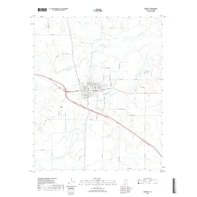
2019 Map of Henrietta
USGS Topo · Published 2019About this map
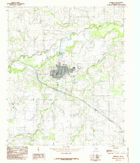
Henrietta serves as the focal point of this North Texas landscape, where the confluence of the Little Wichita River and the Dry Fork Little Wichita River shapes the local topography. The map illustrates a structured grid of residential and commercial streets, including W Omega St and S Graham St, which anchor the town's historical development. Aviation history is represented by both the Pierce Airport and Henrietta Airport, highlighting the region's connectivity beyond the surface roads.
Find a feature on this map
69 named features on this map. Tap any name to fly to it.
Don’t see what you’re looking for? This feature index may not catch every label — zoom into the map to look around manually.
Map Details
Editions of this 2019 Henrietta Map
This is the sole edition of this map. No revisions or reprints were ever made.
Other maps of this area

1954 · Wichita Falls
USGS Topo · 1:250,000
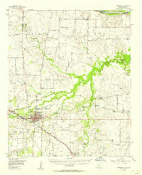
1956 · Henrietta
USGS Topo · 1:62,500
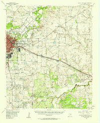
1957 · Wichita Falls East
USGS Topo · 1:62,500

1958 · Wichita Falls
USGS Topo · 1:250,000
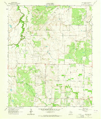
1963 · Deer Creek
USGS Topo · 1:24,000
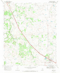
1968 · Bellevue
USGS Topo · 1:24,000
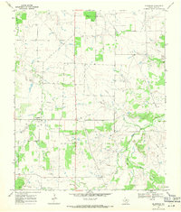
1968 · Bluegrove
USGS Topo · 1:24,000
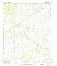
1972 · Dean
USGS Topo · 1:24,000
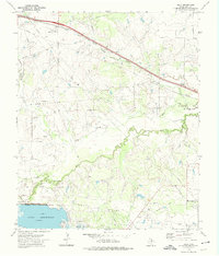
1972 · Jolly
USGS Topo · 1:24,000
1984 · Henrietta
USGS Topo · 1:24,000