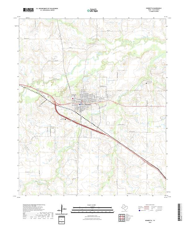
2022 Map of Henrietta
USGS Topo · Published 2022About this map
Henrietta serves as the focal point of this Clay County landscape, where the confluence of the Little Wichita River and its various tributaries shaped the early development of the region. The map detail highlights the civic center of the community, featuring both the Clay County Courthouse and the Clay County Courthouse Annex. These institutions are surrounded by a network of local roads and family-named thoroughfares like H Smith Rd and Womack Loop, indicating a deeply rooted agricultural and residential history.
Find a feature on this map
80 named features on this map. Tap any name to fly to it.
Don’t see what you’re looking for? This feature index may not catch every label — zoom into the map to look around manually.
Map Details
Editions of this 2022 Henrietta Map
This is the sole edition of this map. No revisions or reprints were ever made.
Other maps of this area

1954 · Wichita Falls
USGS Topo · 1:250,000

1956 · Henrietta
USGS Topo · 1:62,500

1957 · Wichita Falls East
USGS Topo · 1:62,500

1958 · Wichita Falls
USGS Topo · 1:250,000

1963 · Deer Creek
USGS Topo · 1:24,000
1968 · Bellevue
USGS Topo · 1:24,000
1968 · Bluegrove
USGS Topo · 1:24,000
1972 · Dean
USGS Topo · 1:24,000
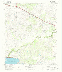
1972 · Jolly
USGS Topo · 1:24,000
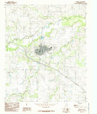
1984 · Henrietta
USGS Topo · 1:24,000