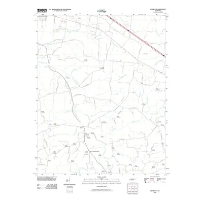
2010 Map of Henrietta
USGS Topo · Published 2010About this map
Bethel Baptist Church stands as a spiritual landmark in this part of Montgomery County, where the landscape is defined by the winding paths of Big McAdoo Creek and Half Pone Creek. This area south of Sango is notable for its high concentration of family-named burial grounds, providing a significant resource for genealogical research. The presence of the Montgomery County Home near the center of the sheet reflects a legacy of local social history, while numerous cemeteries like the Hobson Nicholson Cemetery, Permelie Nicholson Cemetery, and Denny-Nicholson Cemetery indicate deep familial roots in the Raccoon Creek and Brush Creek valleys. Historic travel routes, including the Old Clarksville Pike and Old Ashland City Rd S, weave through the terrain, tracing the early transportation network that connected these rural communities and family homesteads.
Find a feature on this map
97 named features on this map. Tap any name to fly to it.
Don’t see what you’re looking for? This feature index may not catch every label — zoom into the map to look around manually.
Map Details
Editions of this 2010 Henrietta Map
This is the sole edition of this map. No revisions or reprints were ever made.
Other maps of this area

1944 · Clarksville
USGS Topo · 1:50,000

1951 · Clarksville
USGS Topo · 1:24,000

1956 · Nashville
USGS Topo · 1:250,000

1957 · Cheatham Dam
USGS Topo · 1:24,000

1957 · Adams
USGS Topo · 1:24,000

1957 · Pleasant View
USGS Topo · 1:24,000

1957 · Henrietta
USGS Topo · 1:24,000

1957 · Ashland City
USGS Topo · 1:24,000

1957 · Sango
USGS Topo · 1:24,000

1957 · Clarksville
USGS Topo · 1:24,000