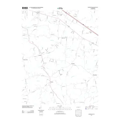
2013 Map of Henrietta
USGS Topo · Published 2013About this map
Henrietta serves as a central point in this rural Tennessee landscape, situated along a network of winding roads and creeks northwest of Nashville. The map details a collection of small communities including Fredonia, Shady Grove, and Oak Plains, which are connected by historic routes like the Dixie Bee Rd and Old Clarksville Pike. The area is defined by its complex drainage system, where Big McAdoo Cr and Little McAdoo Cr flow through the northern reaches while Brush Cr and Half Pone Cr traverse the southern sections.
Find a feature on this map
129 named features on this map. Tap any name to fly to it.
Don’t see what you’re looking for? This feature index may not catch every label — zoom into the map to look around manually.
Map Details
Editions of this 2013 Henrietta Map
This is the sole edition of this map. No revisions or reprints were ever made.
Other maps of this area

1944 · Clarksville
USGS Topo · 1:50,000

1951 · Clarksville
USGS Topo · 1:24,000

1956 · Nashville
USGS Topo · 1:250,000

1957 · Cheatham Dam
USGS Topo · 1:24,000

1957 · Adams
USGS Topo · 1:24,000

1957 · Pleasant View
USGS Topo · 1:24,000

1957 · Henrietta
USGS Topo · 1:24,000

1957 · Ashland City
USGS Topo · 1:24,000

1957 · Sango
USGS Topo · 1:24,000

1957 · Clarksville
USGS Topo · 1:24,000