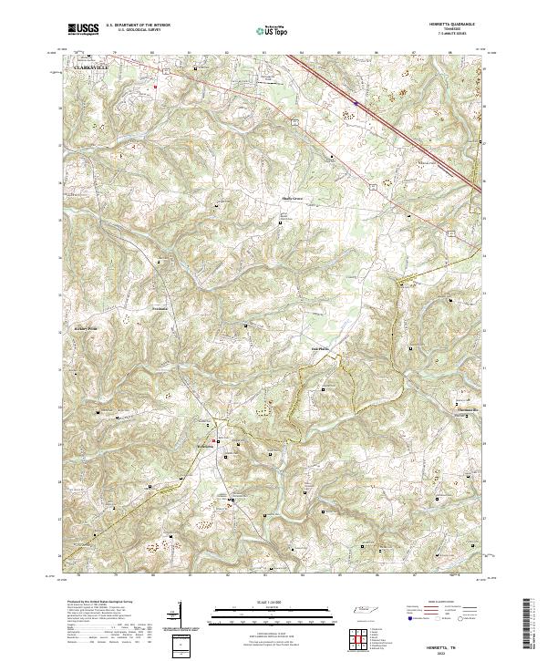
2022 Map of Henrietta
USGS Topo · Published 2022About this map
The rolling landscape of the Montgomery Co Cheatham Co line reveals a deeply rooted rural landscape south of Clarksville. Small farming communities and named crossroads such as Henrietta, Oak Plains, and Thomasville define the settlement pattern, which is heavily interspersed with a high density of family burial grounds. Genealogists will find significant value in the numerous small cemeteries, including the Permelia Nicholson Cem, Hobson Nicholson Cem, and Stack Baggett Cem, which highlight the multi-generational family ties to this land.
Find a feature on this map
159 named features on this map. Tap any name to fly to it.
Don’t see what you’re looking for? This feature index may not catch every label — zoom into the map to look around manually.
Map Details
Editions of this 2022 Henrietta Map
This is the sole edition of this map. No revisions or reprints were ever made.
Other maps of this area

1944 · Clarksville
USGS Topo · 1:50,000

1951 · Clarksville
USGS Topo · 1:24,000

1956 · Nashville
USGS Topo · 1:250,000

1957 · Cheatham Dam
USGS Topo · 1:24,000

1957 · Adams
USGS Topo · 1:24,000

1957 · Pleasant View
USGS Topo · 1:24,000

1957 · Henrietta
USGS Topo · 1:24,000

1957 · Ashland City
USGS Topo · 1:24,000

1957 · Sango
USGS Topo · 1:24,000

1957 · Clarksville
USGS Topo · 1:24,000