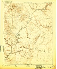
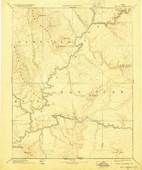
1892 Map of Henry Mountains
USGS Topo · Published 1920About this map
The Colorado River and San Juan River dominate this reconnaissance study of Southeastern Utah, tracing the deeply incised drainage systems before the mid-century creation of major reservoirs. The map centers on the high desert of San Juan, Garfield, and Kane counties, highlighting the dramatic monocline of the Water Pocket Fold and the isolated peaks of the Henry Mountains, including Mt Hillers and Mt Ellsworth. This edition reflects topography gathered by the Powell Surveys, capturing the region during an era of early federal conservation, evidenced by the inclusion of Rainbow Bridge National Monument and Natural Bridges National Monument. Along the southern border, the Utah Arizona Boundary Line passes through the iconic sandstone formations of Monument Valley and the steep walls of Piute Canyon, documenting the landscape just as it was becoming a point of national interest.
Find a feature on this map
23 named features on this map. Tap any name to fly to it.
Don’t see what you’re looking for? This feature index may not catch every label — zoom into the map to look around manually.
Map Details
Editions of this 1892 Henry Mountains Map
6 editions found

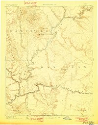
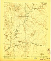
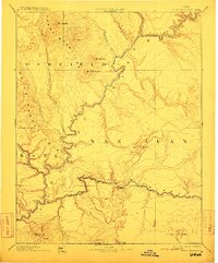
Other maps of this area

1883 · Marsh Pass
USGS Topo · 1:250,000

1885 · San Rafael
USGS Topo · 1:250,000

1885 · La Sal
USGS Topo · 1:250,000

1885 · Fish Lake
USGS Topo · 1:250,000

1886 · Escalante
USGS Topo · 1:250,000

1886 · Henry Mountains
USGS Topo · 1:250,000

1886 · Abajo
USGS Topo · 1:250,000

1886 · Echo Cliffs
USGS Topo · 1:250,000

1891 · Echo Cliffs
USGS Topo · 1:250,000

1892 · Marsh Pass
USGS Topo · 1:250,000