
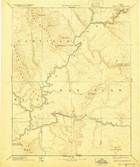
1892 Map of Henry Mountains
USGS Topo · Published 1892About this map
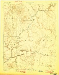
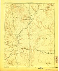
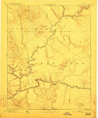
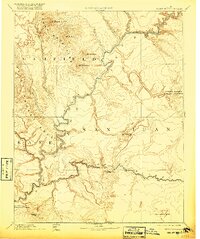
The Henry Mountains dominate the northern landscape of this late nineteenth-century survey, rising sharply above the complex canyon systems of the central Colorado Plateau. This early topography, produced under the direction of J.W. Powell, documents the confluence of major desert waterways where the Colorado River meets the San Juan River. The map captures the dramatic geological structure of the Water Pocket Fold and the isolated peaks of Mt Hillers, Mt Pennell, and Mt Holmes. To the south, the northern reaches of the Navajo Indian Res. are delineated, extending toward the distinct landforms of Monument Valley and Navajo Mt. The intricate drainage patterns of Cataract Canyon and the Fremont River reveal a landscape defined by erosion and isolation before modern infrastructure reached this part of the Four Corners region, offering a clear record of the territory as it was known to early scientific expeditions.
Find a feature on this map
25 named features on this map. Tap any name to fly to it.
Don’t see what you’re looking for? This feature index may not catch every label — zoom into the map to look around manually.
Map Details
Editions of this 1892 Henry Mountains Map
6 editions found
Other maps of this area

1883 · Marsh Pass
USGS Topo · 1:250,000

1885 · San Rafael
USGS Topo · 1:250,000

1885 · La Sal
USGS Topo · 1:250,000

1885 · Fish Lake
USGS Topo · 1:250,000

1886 · Escalante
USGS Topo · 1:250,000

1886 · Henry Mountains
USGS Topo · 1:250,000

1886 · Abajo
USGS Topo · 1:250,000

1886 · Echo Cliffs
USGS Topo · 1:250,000

1891 · Echo Cliffs
USGS Topo · 1:250,000

1892 · Marsh Pass
USGS Topo · 1:250,000