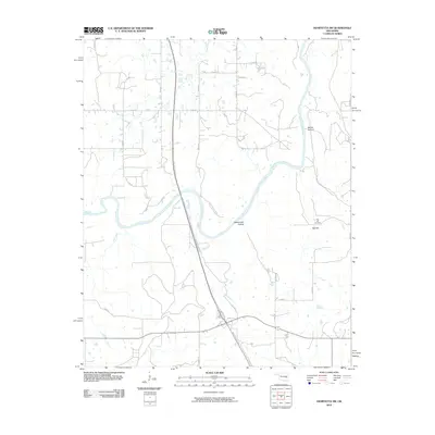
2010 Map of Henryetta SW
USGS Topo · Published 2010About this map
The North Canadian River winds through this McIntosh County landscape, defining the local topography as it flows past Rattlesnake Hollow and Spring Hollow. The settlement of Red Hill sits on the eastern side of the quadrangle, anchored by the Red Hill Cemetery, a key site for genealogical research in this part of Oklahoma. The rural road network, including routes like N 3970 RD and E 1150 RD, provides access to the dispersed farms and residences that characterize the area's development into the early 21st century.
Find a feature on this map
23 named features on this map. Tap any name to fly to it.
Don’t see what you’re looking for? This feature index may not catch every label — zoom into the map to look around manually.
Map Details
Editions of this 2010 Henryetta SW Map
This is the sole edition of this map. No revisions or reprints were ever made.
Other maps of this area

1900 · Canadian
USGS Topo · 1:125,000

1900 · Wewoka
USGS Topo · 1:125,000

1946 · Fort Smith
USGS Topo · 1:250,000

1954 · Oklahoma City
USGS Topo · 1:250,000

1957 · Oklahoma City
USGS Topo · 1:250,000

1962 · Henryetta
USGS Topo · 1:24,000

1962 · Raiford
USGS Topo · 1:24,000

1962 · Henryetta SW
USGS Topo · 1:24,000

1962 · Hoffman
USGS Topo · 1:24,000

1963 · Oklahoma City
USGS Topo · 1:250,000