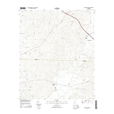
2014 Map of Henson Springs
USGS Topo · Published 2014About this map
The Buttahatchee River winds through the southern and eastern reaches of this landscape, defining the topography along the border of Marion and Lamar counties. Small rural settlements like Henson Springs and Fulton Bridge serve as focal points for a network of country roads, including the curious Dinky Line Rd. The map is particularly rich in genealogical data, documenting numerous family and community burial grounds such as the Cantrell Family Cem, Ballard Cem, and Carter Cem.
Find a feature on this map
91 named features on this map. Tap any name to fly to it.
Don’t see what you’re looking for? This feature index may not catch every label — zoom into the map to look around manually.
Map Details
Editions of this 2014 Henson Springs Map
This is the sole edition of this map. No revisions or reprints were ever made.
Other maps of this area

1953 · Birmingham
USGS Topo · 1:250,000

1953 · West Point
USGS Topo · 1:250,000

1956 · Birmingham
USGS Topo · 1:250,000

1956 · Gadsden
USGS Topo · 1:250,000

1956 · Tupelo
USGS Topo · 1:250,000

1957 · Birmingham
USGS Topo · 1:250,000

1958 · Tupelo
USGS Topo · 1:250,000

1958 · West Point
USGS Topo · 1:250,000

1958 · Gadsden
USGS Topo · 1:250,000

1960 · Gadsden
USGS Topo · 1:250,000