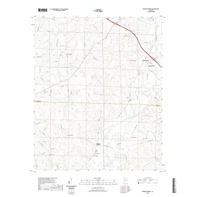
2020 Map of Henson Springs
USGS Topo · Published 2020About this map
Henson Springs sits as a primary landmark in this survey of northwest Alabama, positioned near the Buttahatchee River as it winds through the southern reaches of the quadrangle. The map documents a deeply interconnected network of family legacies, evidenced by the numerous burial grounds scattered across the terrain, including the Cantrell Family Cem, Crump Cem, and Henson Springs Cem. In the northeast, the outskirts of Hamilton appear near the Fulton Bridge, where local transit and water resources converge. The landscape is defined by its drainages, with Hamilton Mill Cr and Factory Cr carving through the northern sections. This 2020 record captures the enduring rural character of the area where the Marion and Lamar county line bisects the territory, preserving the names of local landmarks like the Henson Spring itself and Liberty Cem.
Find a feature on this map
98 named features on this map. Tap any name to fly to it.
Don’t see what you’re looking for? This feature index may not catch every label — zoom into the map to look around manually.
Map Details
Editions of this 2020 Henson Springs Map
This is the sole edition of this map. No revisions or reprints were ever made.
Other maps of this area

1953 · Birmingham
USGS Topo · 1:250,000

1953 · West Point
USGS Topo · 1:250,000

1956 · Birmingham
USGS Topo · 1:250,000

1956 · Gadsden
USGS Topo · 1:250,000

1956 · Tupelo
USGS Topo · 1:250,000

1957 · Birmingham
USGS Topo · 1:250,000

1958 · Tupelo
USGS Topo · 1:250,000

1958 · West Point
USGS Topo · 1:250,000

1958 · Gadsden
USGS Topo · 1:250,000

1960 · Gadsden
USGS Topo · 1:250,000