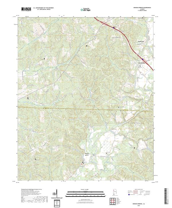
2024 Map of Henson Springs
USGS Topo · Published 2024About this map
The Buttahatchee River meanders across this rural landscape at the border of Marion Co and Lamar Co, anchoring a region defined by small-scale agriculture and a history of river crossings. Evidence of the early river economy is visible through sites like Evins Ferry and Metcalf Ferry, alongside the Fulton Bridge to the northeast. The settlement of Henson Springs serves as a central point, surrounded by several family and community burial grounds including Henson Springs Cem, Cantrell Family Cem, and Crump Cem. Distinctive road names such as Dinky Line Rd and Byrd School Rd provide local context for researchers tracing historic transportation patterns and property lines through this corner of Northwest Alabama.
Find a feature on this map
94 named features on this map. Tap any name to fly to it.
Don’t see what you’re looking for? This feature index may not catch every label — zoom into the map to look around manually.
Map Details
Editions of this 2024 Henson Springs Map
This is the sole edition of this map. No revisions or reprints were ever made.
Other maps of this area

1953 · Birmingham
USGS Topo · 1:250,000

1953 · West Point
USGS Topo · 1:250,000

1956 · Birmingham
USGS Topo · 1:250,000

1956 · Gadsden
USGS Topo · 1:250,000

1956 · Tupelo
USGS Topo · 1:250,000

1957 · Birmingham
USGS Topo · 1:250,000

1958 · Tupelo
USGS Topo · 1:250,000

1958 · West Point
USGS Topo · 1:250,000

1958 · Gadsden
USGS Topo · 1:250,000

1960 · Gadsden
USGS Topo · 1:250,000