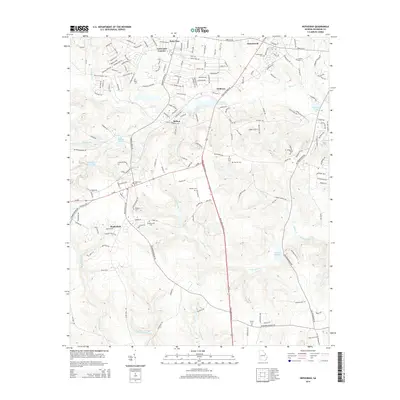
2014 Map of Hephzibah
USGS Topo · Published 2014About this map
Hephzibah and Gracewood anchor this region of Richmond County, where the transition from residential development to agricultural land is clearly visible. The landscape is defined by the numerous water bodies and drainage systems that once powered local industry, including Hancock Millpond, Richmond Factory Pond, and Babcock Wilcox Lake. These water sources are fed by a network of tributaries such as Spirit Cr, Little Spirit Cr, and Rebecca Walker Cr.
Find a feature on this map
180 named features on this map. Tap any name to fly to it.
Don’t see what you’re looking for? This feature index may not catch every label — zoom into the map to look around manually.
Map Details
Editions of this 2014 Hephzibah Map
This is the sole edition of this map. No revisions or reprints were ever made.
Other maps of this area

1919 · Gough
USGS Topo · 1:62,500

1920 · Greens Cut
USGS Topo · 1:62,500

1921 · Augusta
USGS Topo · 1:62,500

1922 · Hephzibah
USGS Topo · 1:62,500

1943 · Greens Cut
USGS Topo · 1:62,500

1943 · Augusta East
USGS Topo · 1:125,000

1943 · Augusta
USGS Topo · 1:62,500

1948 · Hephzibah
USGS Topo · 1:62,500

1948 · Gough
USGS Topo · 1:62,500

1948 · Blythe
USGS Topo · 1:24,000