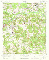
1957 Map of Hephzibah
USGS Topo · Published 1973About this map
The Central of Georgia railroad cuts a diagonal path through this Richmond County landscape, connecting the town of Hephzibah with the community of Gracewood to the northeast. This 1957 survey, with updates from 1971, reveals a rural district shaped by the drainage of Spirit Creek and its many tributaries like Grindstone Branch and Little Spirit Creek. The map provides a detailed look at the social fabric of the era through its numerous country churches and family-named cemeteries, including the Chalk Mine Mem Ch and Tinley Cem.
Find a feature on this map
40 named features on this map. Tap any name to fly to it.
Don’t see what you’re looking for? This feature index may not catch every label — zoom into the map to look around manually.
Map Details
Editions of this 1957 Hephzibah Map
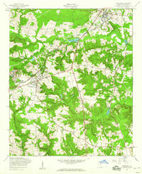
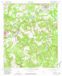
Other maps of this area

1919 · Gough
USGS Topo · 1:62,500

1920 · Greens Cut
USGS Topo · 1:62,500

1921 · Augusta
USGS Topo · 1:62,500

1922 · Hephzibah
USGS Topo · 1:62,500

1943 · Greens Cut
USGS Topo · 1:62,500

1943 · Augusta East
USGS Topo · 1:125,000

1943 · Augusta
USGS Topo · 1:62,500

1948 · Hephzibah
USGS Topo · 1:62,500

1948 · Gough
USGS Topo · 1:62,500

1948 · Blythe
USGS Topo · 1:24,000